Pavones is the wave every goofy-footer keeps at the bottom of the bucket list because it's the hardest to reach and, on the right day, the most rewarding in the country. Tucked at the mouth of the Golfo Dulce in Costa Rica's remote deep south, near the Panama border, it's a left-hand point break that on a big south swell reportedly links from the point all the way through town — a mile or more of racing wall on a single wave. Surfers who've scored it talk about legs so cooked they can barely paddle back out. This is a seven-day (🔴) pilgrimage, and the intensity tag is about the journey and the remoteness as much as the wave.
Why a self-driven pilgrimage beats any package: Pavones only truly fires on a solid south swell, it's a long haul from anywhere, and the town has no gas station, no bank, and no ATM. That combination makes a fixed tour a gamble — you can't rebook a mile-long left. The winning approach is flexible dates, your own capable rig, and a route that turns the drive itself into the trip: warm up at Dominical, stage through Golfito for fuel and cash, and roll into Pavones on a confirmed swell with everything you need in the truck. When the point's crowded on the big days, Punta Banco to the south gives you rights and space; when you want mellow, Zancudo's beach break waits across the water.
Season honesty: Pavones is an Apr–Oct wave — the south-swell season — but that's also the deep south's rainiest region. May through July tend to be the drier, more manageable green-season months; September through November get very wet and roads can wash out, so higher clearance and a 4x4 matter more the later you go. The wave is said to be good ~150 days a year, but the epic mile-long days need a real, big south swell. Build in flex dates and chase the forecast.
Day-by-day
Day 1 — SJO → Dominical (~3.5–4 hr, paved Rte 27 + Rte 34). Break the long southbound drive with a warm-up at Dominical, a powerful, punchy beach break that's a good tune-up for your paddle fitness and a scenic first night. Provision and fuel; the coast gets thinner from here.
Day 2 — Dominical → Golfito (~3.5–4 hr, paved Rte 34 + Rte 2 + Rte 14). The staging day. Golfito is the last real town with reliable fuel, banks/ATMs, and a full grocery — this is where you stock up for the roadless-of-services stretch ahead. Fill the tank and draw cash here; Pavones has neither a gas station nor an ATM. Overnight in or near Golfito.
Day 3 — Golfito → Pavones (~1.5–2 hr, paved → smooth gravel → bumpy dirt). From Rio Claro (last highway gas at Servicentro Rio Claro) the route threads Rte 14 → 238 → 611 through tiny towns and countryside, pavement giving way to gravel and finally a long stretch of bumpy dirt with old one-lane bridges. Don't drive it after dark — unmarked turns and guardrail-less bridges. Arrive Pavones, settle in, first look at the point. Playa Pavones is a long gray-sand beach backed by rainforest; the left peels off Pavones Point at the Rio Claro river mouth.
Day 4 — Pavones (the wave). Live by the swell and the pushing tide. On a big south swell the point connects section after section for hundreds of meters to a mile; pace yourself, keep speed through the fat parts, and expect a crowd of visiting surfers on the best days — it draws people from all over the country when it's on. Dawn for the lightest wind. Between sessions, wade the tide pools and rock outcrops at the point's south end at low tide.
Day 5 — Punta Banco (~20 min south, dirt beach road). When the point is crowded or you want variety, Punta Banco — 20 minutes south on the narrow beach road — offers solid rights and lefts with far fewer people, plus elaborate tide pools (best at very low tide) and a genuinely wild, end-of-the-road feel. Scarlet macaws, monkeys, and dolphins in the gulf are part of the scenery. Streams to cross on foot down the beach.
Day 6 — Pavones or Zancudo (swell-dependent). If the south swell is still pumping, back to the point for another marathon left. If it's dropped, cross to Zancudo, a mellow beach break and a quieter, palm-lined change of pace across the water to the northeast. Read the forecast and go where it's best.
Day 7 — Pavones → SJO (long drive, start at dawn). Reverse the haul — dirt to Golfito (fuel again), then the long paved run north. It's ~7 hours to San José; leave early, don't drive the dirt-and-bridges section in the dark, and consider splitting it with a night back at Dominical or Uvita if your flight allows.
The breaks
- Pavones — left-hand point break off the Rio Claro river mouth; on a big S swell links hundreds of meters to a mile of racing wall; best on the pushing tide, dawn offshore. Advanced (especially goofy-footers); crowded on the big days.
- Punta Banco — rights and lefts with space, 20 min south; wild, uncrowded, elaborate low-tide pools. Intermediate to advanced.
- Zancudo — mellow beach break across the water; the down-day / smaller-swell option. Improver to intermediate.
Where to stay
Pavones has surf lodges, cabinas, and retreats, many right in town — options like Surf House Pavones near the river mouth (boards and bikes for guests), the long-running La Ponderosa across from the beach south of the point, and the higher-end Pavones Point condos overlooking the break (prices vary widely — verify current rates and availability). Punta Banco has a few off-grid lodges; Zancudo has casual beachfront places. A self-contained rig is a real asset given the thin services — confirm any rooftop-tent/camp site with the owner.
Surf logistics
- Season / swell: Apr–Oct south-swell season; May–Jul the drier green months, Sep–Nov the wettest with the worst roads. The mile-long days need a real, big S swell — flex your dates and chase the chart.
- Boards: Bring your quiver and a ding kit — there's minimal board support out here. Racks essential; a step-up for the big point days.
- Tides / wind: Best on the pushing tide with the dawn offshore; the point holds through mid tide on size.
- Hazards: The Rio Claro river mouth at the point — current and crocodile awareness (any CR river mouth); rock outcrops at low tide; strong down-the-line current on the long wall. Remote — no quick medical help.
- Fuel / cash / services: No gas station and no ATM in Pavones. Fill up and draw cash in Golfito (and top off at Rio Claro), and bring provisions. Limited groceries in town.
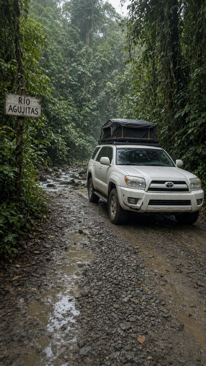
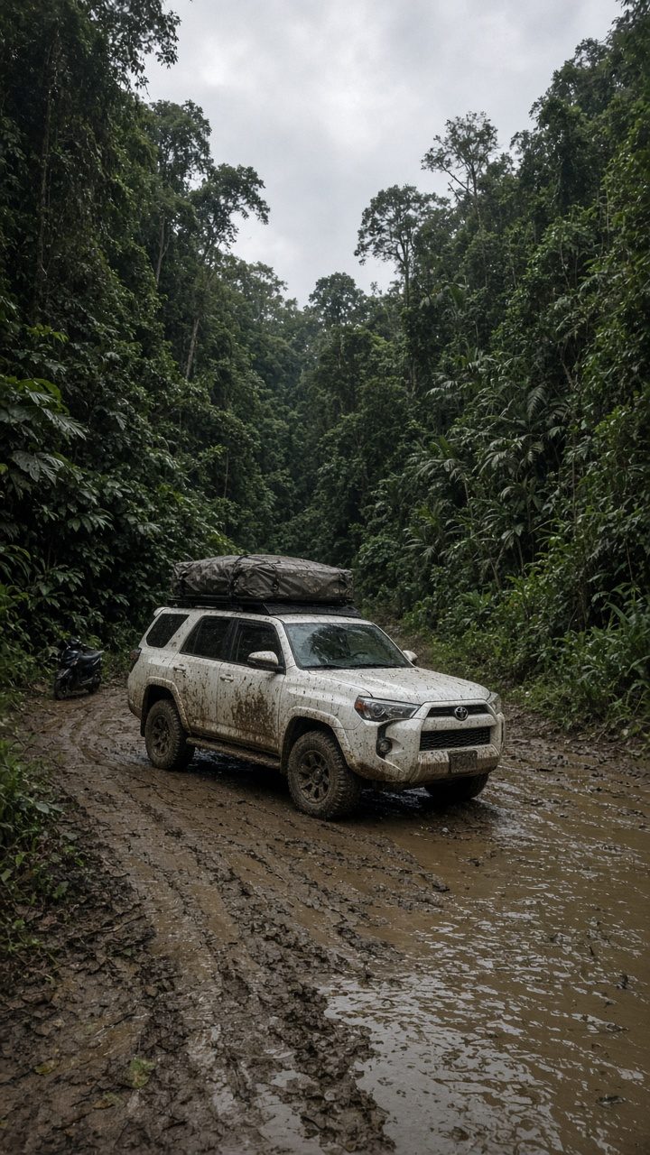
- 4x4 need / connectivity: Mid 4x4 with clearance; the final dirt and one-lane bridges demand care, and green-season mud/washouts make higher clearance and 4x4 important. Patchy-to-no signal — download offline maps and tide charts.
- Tag: 🔴 through-land — long remote drive, dirt-and-bridges access, no services, advanced wave.
Insider tips
- Golfito is your lifeline — fuel, cash, groceries. Pavones has none of the three; stage everything there and top off at Rio Claro.
- Flex your dates around a big south swell. The everyday Pavones is fun; the mile-long, legs-on-fire Pavones needs real S-swell energy — build a window, not a fixed day.
- Never drive the final stretch after dark. Unmarked turns and guardrail-less one-lane bridges make night driving genuinely risky.
- Punta Banco is your crowd-and-variety valve. When the point is packed on the best days, 20 minutes south buys you rights and space.
- Pace the wave, not just the paddle-out. It's an endurance ride — cross-step through the fat sections, and be ready for a long walk or paddle back up the point.
Reserve your rig
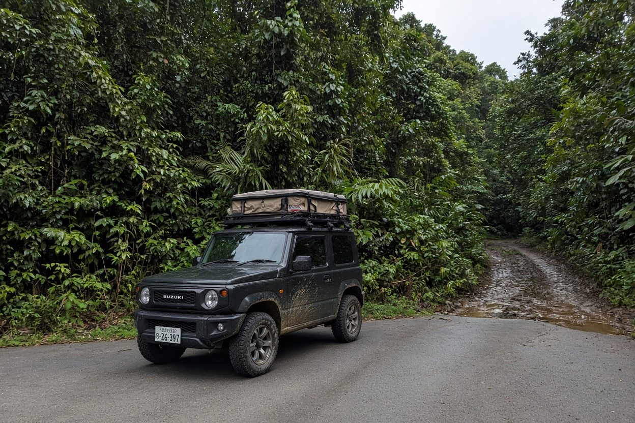
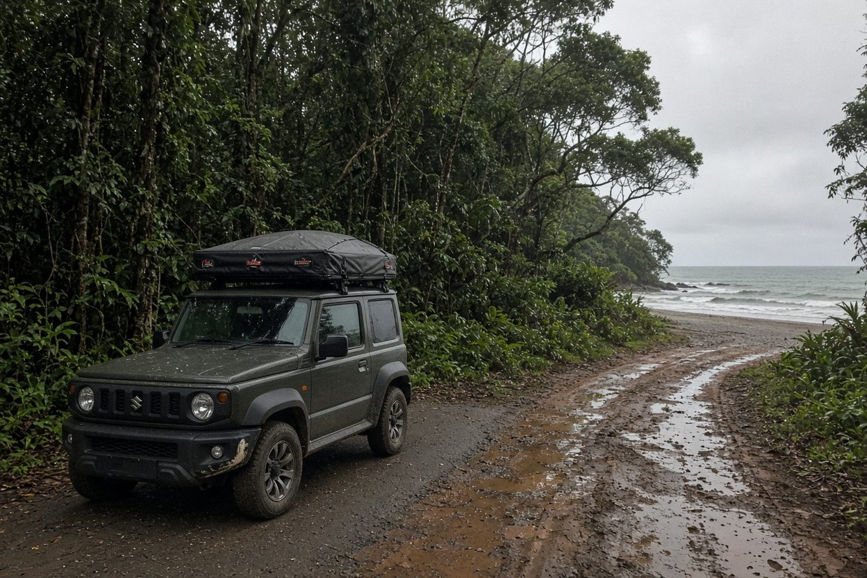
A pilgrimage to the far southern edge of the country wants a capable, self-sufficient mid 4x4 with clearance for the dirt-and-bridges finale, racks for the quiver, and room to carry the fuel, water, and provisions that Pavones can't sell you. Reserve your VerifiedCR overland rig with board racks and a rooftop tent, and we'll set up flexible swell-window dates, a Golfito fuel-and-cash logistics plan, and a remote-zone recovery and comms kit. Chase the biggest south swell of your trip to the end of the road — and ride the longest left of your life.
Before you go
Do you need a 4x4?
4x4 required
Best window to fly
Apr–Oct big S swell (the wave's window); May–Jul drier of the green months, Sep–Nov wettest/roads worst
Offline first
Download your route and offline maps before you leave the lot — signal drops on the best stretches.
Golden rule
Never drive at night — plan arrivals before dark, and use Waze like the locals do.
VerifiedCR · No counter surprises
What a Costa Rica rental actually costs
The number one thing that rattles first-timers is the price jumping at the counter. Here is the honest math, before you get there.
- Advertised daily rate$12–40 / day
- What the booking sites show. It is real — but it is not the whole price. Nobody pays only this.
- Mandatory liability (TPL / SLI)+$15–25 / day
- Required by Costa Rican law on every rental. Cannot be waived. This is the line the cheap ads leave off — it roughly doubles the sticker price. Budget for it.
- Collision damage (CDW)waivable
- Often $20–40/day — but you can usually decline it if your credit card includes rental coverage (Amex, Visa Signature, Chase Sapphire and others). Call your card, ask for a coverage letter, and bring it printed.
- Security hold on your card$1,000–2,500
- A hold, not a charge — released after you return the car clean. Some agencies hold more. Make sure your card has the headroom before you fly.
The verified-rig promise: when you reserve through VerifiedCR, the rig is inspection-checked and the operator is vetted — the price you are quoted is the price you pay. No mystery line items at pickup.