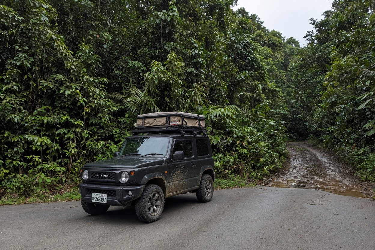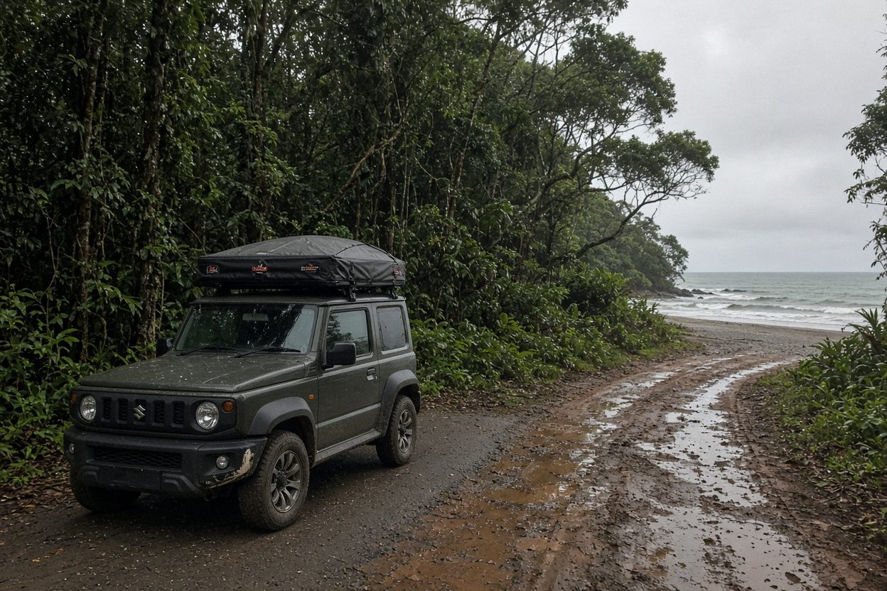
Some surf trips are about variety. This one is about a single, obsessive goal: riding the long lefts of Costa Rica's deep south, ending at Pavones — regularly cited as one of the longest left-hand point waves on Earth, where a good set can carry you for a rubber-legged quarter of a mile. Between here and the trailhead in Dominical lie the powerful beach breaks of the Costa Ballena and the right-and-left points of Cabo Matapalo on the Osa Peninsula. It's a pilgrimage, and like all pilgrimages it demands commitment.
This is an unambiguous 🔴 route. The roads deteriorate the further south you go, the last push to Pavones includes rough dirt and seasonal river crossings, and the payoff wave is famously fickle — Pavones needs a solid south swell to switch on. You want a mid 4x4 at minimum, and a Land Cruiser with a rooftop tent if you plan to camp and self-recover. This is not a beginner's trip and it is not a guaranteed-wave trip; it's a trip for surfers who understand that the search is the sport.
Timing is a genuine tension. The best roads are Dec–Apr (dry season), but Pavones fires on south swells from roughly April through October, biggest and most consistent Jul–Sep — which is also the muddiest, most river-crossing-prone window. Read the surf guidance below and pick your compromise deliberately.
Day-by-day
Day 1 — SJO → Dominical (~135 km / 3–3.5 hr, paved Rte 27 then coastal Rte 34). Fly into San José, grab the rig, and run the fast Caldera highway (Rte 27) to the coast, then south down the Costanera (Rte 34) to Dominical. Dominical is a punchy, shifty beach break that rewards experience — heavy on a big swell, fun and rippable on a moderate one. Warm up with an evening session, eat in town, and sleep in a Dominical surf cabina or the rooftop tent at a coastal campground.
Day 2 — Dominical (session + tune-up). Dawn patrol Dominical on the tide the locals point you to, then rest through the windy midday. This is the place to sort your quiver and fix any dings before the roads get remote — carry a ding-repair kit from here on. Optional afternoon at nearby beach peaks if the main break is closing out.
Day 3 — Dominical + Uvita (~20 km / 30 min south). Slide down to Uvita and the mellower reforms around Marino Ballena (the "Whale's Tail" sandbar), a softer, longer-walled option and a good down-day if Dominical is maxing. Provision heavily in Uvita — it's the last full-service town before the deep south.
Day 4 — Uvita → Cabo Matapalo (~130 km + Osa access; 3.5–5 hr, ends on rough dirt 🔴). Push south past Palmar, cross toward the Osa Peninsula, and grind the final dirt road to Cabo Matapalo at the peninsula's tip. Matapalo's beaches — Pan Dulce, Backwash, and Playa Matapalo — hold long, workable right points (and lefts) that break best on the same south swells that light up Pavones. Fuel and cash are limited out here; you provisioned in Uvita for a reason. Sleep in an off-grid Matapalo eco-cabina or the rooftop tent (confirm private-land permission).
Day 5 — Cabo Matapalo (surf + jungle). Dawn point session, then explore: Matapalo is prime scarlet-macaw and monkey country, so the down-time between tides is pure Osa wilderness. Second session at the afternoon tide; early night.
Day 6 — Cabo Matapalo → Pavones via Golfito (~4–5 hr incl. Golfo Dulce drive; last leg steep dirt + seasonal fords 🔴). Backtrack off the Osa, loop around the Golfo Dulce, and use Golfito as your fuel-and-logistics hub — it's the last reliable gas, ATM and supplies before Pavones. From Golfito, the final ~1.5–2 hr to Pavones is dirt with steep sections and river crossings that can swell in rain (use Waze and drive in daylight). Arrive, check the swell, and settle into a Pavones cabina — bring cash, cards are unreliable here.
Day 7 — Pavones (the main event). If the south swell has arrived, this is why you came: paddle out at the river-mouth point and, on a set wave, link section after section down the cobblestone point. If it's small, be patient — surf the inside, do a Punta Banco recon south of town, and wait. Pavones rewards the surfer who's still there on day three.
Day 8 — Pavones + Punta Banco / Zancudo down-day. A second full day at the point (essential given Pavones' fickle nature), or a mellow reset at Zancudo, the calm gulf-side beach town nearby, if your body needs it. Ding-repair, hydrate, and log another dawn.
Day 9 — Pavones → Golfito exit (~1.5–2 hr dirt then paved). Final dawn if the swell holds, then the drive back to Golfito to fly out or begin the long haul north. Buffer heavily for the dirt road and river levels.
Signature stops (why go)
- Pavones — one of the longest lefts on the planet; on the right south swell, a single wave is a workout.
- Cabo Matapalo (Pan Dulce / Backwash / Matapalo) — long jungle-backed points at the tip of the Osa, wildlife between sets.
- Dominical — the powerful, no-crowd-of-beginners beach break that warms you up for the south.
- Zancudo / Punta Banco — the calm-water reset and the backup point when Pavones sleeps.
Where to camp / stay
Dominical and Uvita have established surf cabinas and coastal campgrounds. Cabo Matapalo is off-grid boutique/eco-cabina territory — book ahead, and if camping, secure private-land permission. Pavones and Zancudo are cabina towns: simple, surf-focused, cash-based. Confirm current operators locally; names change and many don't take cards.
Logistics & road reality
- Fuel & cash 🔴: Provision in Uvita and top up in Golfito — the last dependable gas/ATM. Matapalo, Pavones and Zancudo run on cash and thin supplies.
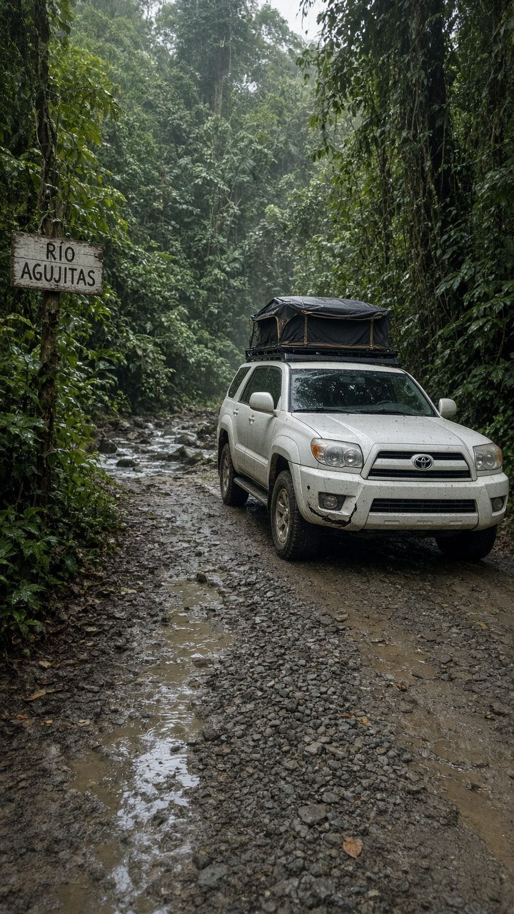
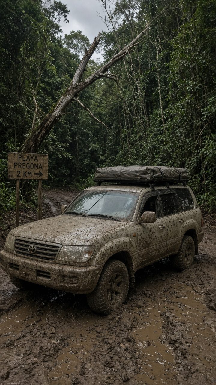
- Roads 🔴: Osa access to Matapalo and the Golfito→Pavones leg are dirt with steep grades and seasonal river crossings; these can become impassable in heavy rain. Daylight driving only; a real 4x4 (Land Cruiser preferred) and recovery/tow capability strongly advised.
- Season: Dec–Apr = best roads but smaller/inconsistent south swell; Apr–Oct = the swell window but the worst roads. Choose consciously.
- Connectivity: Spotty-to-absent around Matapalo and Pavones — download offline maps and carry a satellite messenger.
- Safety: River-crossing levels change fast; never cross moving brown water you can't read. Pavones is a cobblestone point — reef booties and respect for the local lineup are expected.
Surf guidance (advanced)
- Skill level: Advanced. Pavones and Matapalo are point breaks over cobble/rock with strong current; Dominical is a heavy beach break. Not for beginners.
- Swell window: South (SW) swell, ~April–October, biggest and most reliable Jul–Sep. Pavones ideally wants 6–10 ft of south swell to connect the full point; below that it's an inside runner.
- Boards: Bring a step-up plus your everyday shortboard, and a longer board for small Pavones days. Carry a ding-repair kit — the nearest shaper is a long way off.
- Tides: Pavones connects best on a specific tide the locals will tell you; mid-tide is a common answer. Ask, don't guess.
- Hazards: Cobblestone bottom, river-mouth current at Pavones, sharp point sections at Matapalo. Booties recommended; know your exit.
Insider tips
- Watch the buoys and the forecast for a week before you commit to Pavones' dates. A dead south-swell week means an empty point — build flex into your travel.
- Golfito is your lifeline. Fill the tank, draw cash, and buy food there; treat everything south of it as off-grid.
- Carry recovery gear and a sat messenger. The river crossings and no-signal stretches are the real risk, not the surf.
- Reef booties and lineup etiquette at Pavones. It's a local wave with a long memory; earn your set waves.
- Give Pavones three days, not one. Fickle waves reward patience; the surfers who score are the ones still there.
Reserve your rig
This is a proper expedition — remote dirt, river crossings, no gas for hours, and a wave that makes you earn it. Reserve your VerifiedCR Land Cruiser with rooftop tent, board racks, recovery/tow gear and a satellite messenger, and we'll brief you on the current swell window, river-crossing conditions, and a local point introduction. Deep-south surf, done right and self-sufficient.
Before you go
Do you need a 4x4?
seasonal river ford — 4x4 advised
Best window to fly
Dec–Apr for roads; south swell Apr–Oct (Jul–Sep biggest) for Pavones
Offline first
Download your route and offline maps before you leave the lot — signal drops on the best stretches.
Golden rule
Never drive at night — plan arrivals before dark, and use Waze like the locals do.
VerifiedCR · No counter surprises
What a Costa Rica rental actually costs
The number one thing that rattles first-timers is the price jumping at the counter. Here is the honest math, before you get there.
- Advertised daily rate$12–40 / day
- What the booking sites show. It is real — but it is not the whole price. Nobody pays only this.
- Mandatory liability (TPL / SLI)+$15–25 / day
- Required by Costa Rican law on every rental. Cannot be waived. This is the line the cheap ads leave off — it roughly doubles the sticker price. Budget for it.
- Collision damage (CDW)waivable
- Often $20–40/day — but you can usually decline it if your credit card includes rental coverage (Amex, Visa Signature, Chase Sapphire and others). Call your card, ask for a coverage letter, and bring it printed.
- Security hold on your card$1,000–2,500
- A hold, not a charge — released after you return the car clean. Some agencies hold more. Make sure your card has the headroom before you fly.
The verified-rig promise: when you reserve through VerifiedCR, the rig is inspection-checked and the operator is vetted — the price you are quoted is the price you pay. No mystery line items at pickup.