This is the hardest self-drive we plan in Costa Rica, and we say that plainly. The Iron Circuit is not a "greatest hits with dirt roads" trip — it is a three-week expedition that deliberately strings together the country's most demanding terrain: the 4x4-only dry-forest tracks of Santa Rosa, the tide-gated river fords of the Osa Peninsula, the guided rainforest traverse of Corcovado, the permit-gated 3,820 m summit of Cerro Chirripó, and a Caribbean finish that includes a boat-only national park. You should arrive fit, self-sufficient, and comfortable with the idea that some days you will not have a phone signal, a gas station, or a bailout.
Two things are non-negotiable and they anchor the whole plan. First, you must run this in the dry season (December–April) — the Osa roads and the Santa Rosa tracks become genuinely impassable in the rains, and Chirripó is miserable and dangerous in a downpour. Second, the Chirripó summit is hard-gated by a SINAC permit that sells out and the Corcovado sectors require an ICT-certified guide and an advance reservation. Book both before you book anything else; the entire 21 days pivots on those two dates landing.
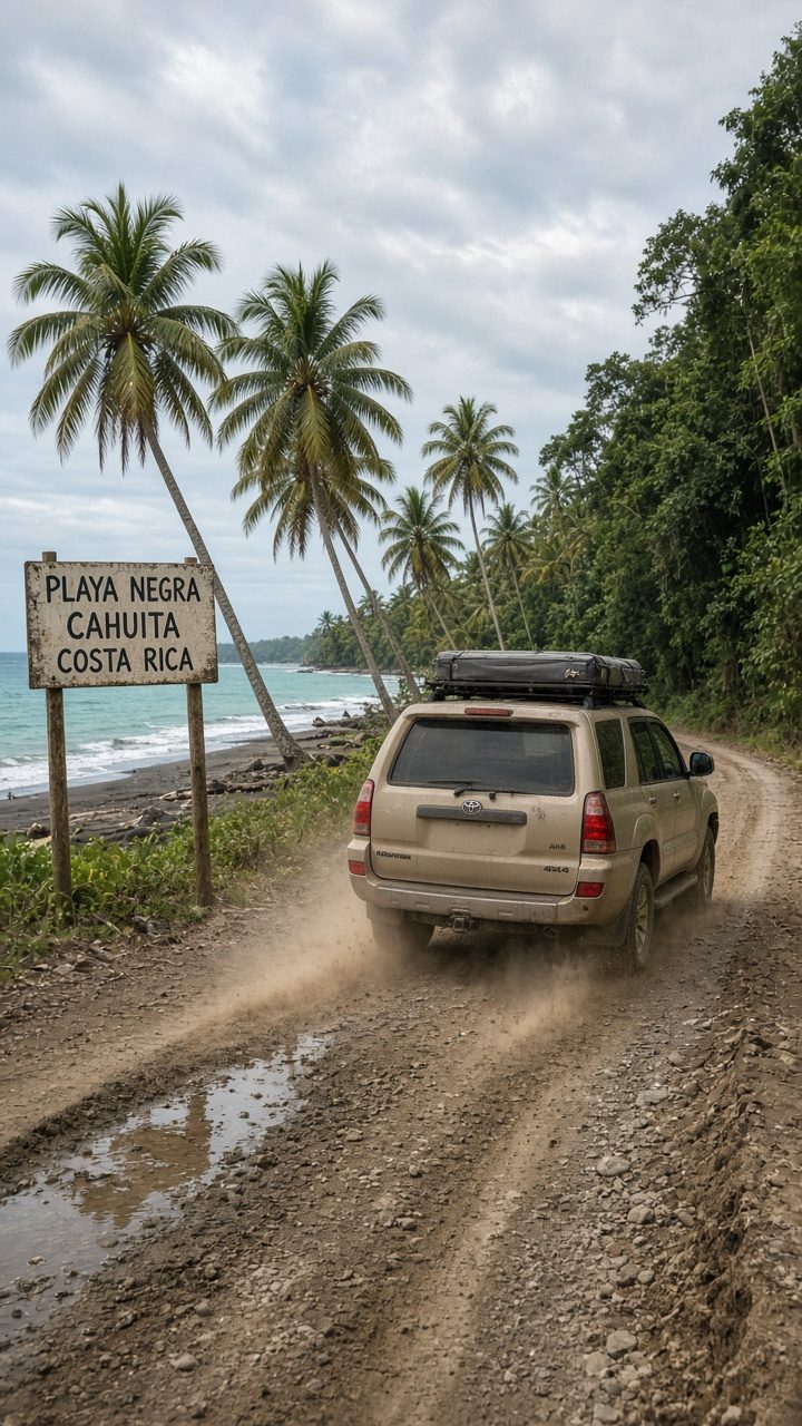
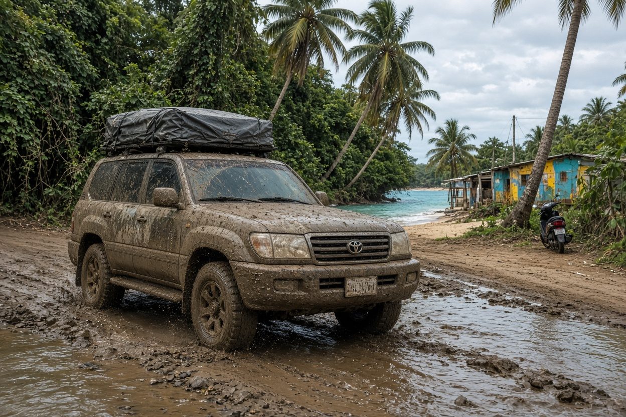
The rig is a Land Cruiser with a rooftop tent — nothing lighter survives the Osa fords and the remote camps with dignity. Bring recovery gear, a satellite messenger, extra fuel range, and cash. This is a 🔴 route from end to end.
Day-by-Day
Days 1–3 — Santa Rosa & Witch's Rock (Guanacaste dry forest). From Liberia, provision fully and drive into Santa Rosa National Park (La Casona). The 4x4-only track down to Playa Naranjo (Witch's Rock) is river-dependent and 🔴 impassable when wet — dry season only, and verify the crossing at the ranger station. Camp in the dry forest and at the beach. This is remote surfing and wildlife with no services.
Days 4–5 — Rincón de la Vieja backcountry. Move to the Rincón sector, ~1–1.5 hours plus gravel. Las Pailas mud pots, Río Negro hot springs, and the higher backcountry trails. Recharge, resupply, and sleep well — the peninsula is the last easy stretch for a while.
Days 6–7 — Remote Nicoya + Santa Teresa (via Paquera ferry). Drive south and cross the Gulf of Nicoya on the Puntarenas–Paquera ferry (Naviera Tambor): crossing ~60–70 minutes, but allow ~1.5 hours total for ticketing, the queue, and loading, and arrive early because car spaces fill. Departures run roughly every few hours from ~4 a.m. to late evening — confirm the current timetable, which is revised periodically. Base in Santa Teresa / Mal País for surf and the wild south end of the peninsula, then ferry back to the mainland.
Days 8–9 — Río Celeste + Bajos del Toro. Reposition to the central spine. Río Celeste sits inside Tenorio Volcano National Park near Bijagua — SINAC online tickets only, entry 8 a.m.–2 p.m., no signal at the trailhead, muddy trail after rain. Bajos del Toro delivers Catarata del Toro and the Blue Falls canyon system. Camp in the highlands.
Days 10–13 — The Osa Peninsula (Sierpe, Drake, Corcovado, Carate). The heart of the trip and the hardest driving. Sierpe for the Térraba-Sierpe mangroves; Drake Bay (🔴 no ATM and no gas — arrive fueled and carrying cash); the Corcovado day or overnight (ICT-certified guide mandatory since 2014, SINAC permit and Sirena quota strictly enforced — book well ahead); and the coast road toward Cabo Matapalo and Carate, where the crossings are tide-gated fords 🔴 that must be timed and checked. This is unbridged-crossing, offline-map, recovery-gear country.
Days 14–16 — Chirripó summit (Crestones, permit-gated). Reposition to San Isidro de El General, then up to San Gerardo de Rivas (foggy, landslide-prone approach — daylight only). The climb to the summit is a serious high-altitude trek: the SINAC permit is the hard gate, and the Crestones Base Lodge is the only legal in-park bed (booked separately from the entry permit, typically within ~24 hours of securing it). There is no signal above San Gerardo. Summit at dawn, descend, and recover in the San Gerardo hot springs. ⚠️ Do not attempt without a confirmed permit — turning up without one ends the leg.
Days 17–18 — Spine transit. Two working days to reposition from the southern highlands across the interior toward the Caribbean staging area, breaking the drive so Route 32 is done in daylight.
Days 19–21 — Caribbean finish (Tortuguero + Puerto Viejo). Park the rig at La Pavona and take the public lancha into Tortuguero (no road access; ~hourly boats, ~₡6,000/~US$12 one-way, ~1 hour — confirm times) for canals and wildlife. Boat out, then drive the coast south for a Puerto Viejo / Cahuita reef-and-reggae decompression before the trip ends. 🔴 Route 32 is daylight-only.
Signature Stops (Why Go)
- Witch's Rock (Playa Naranjo) — legendary surf reachable only by a 4x4-only dry-forest track.
- The Osa fords + Corcovado — the most biologically intense rainforest in the country, earned by the hardest driving.
- Cerro Chirripó (3,820 m) — the roof of Costa Rica, and on a clear dawn you can see both oceans.
- Tortuguero — a boat-only national park of canals to bookend an all-terrain trip.
Where to Camp / Stay (Named)
- Santa Rosa: park campgrounds (ranger reservation) + Playa Naranjo camp.
- Rincón: Hacienda Guachipelín / backcountry camps.
- Santa Teresa: surf camps and rooftop-tent pull-offs.
- Osa: rooftop tent + Drake Bay cabinas; Sirena station bunkhouse for the Corcovado overnight (book ahead, meals limited).
- Chirripó: van/lodging in San Gerardo de Rivas + Crestones Base Lodge (only in-park bed).
- Caribbean: Tortuguero village guesthouse; Puerto Viejo / Cahuita.
Logistics & Road Reality
- Season: 🔴 December–April only. The Osa and Santa Rosa tracks and the Chirripó approach are not safe or passable in the rains.
- Permits (book first): Chirripó — SINAC online, sells out, reservations open ~90 days ahead, office Mon–Fri. Corcovado — certified guide + SINAC permit + enforced Sirena quota. Both hard-gate the itinerary.
- Fuel & cash: Drake Bay has no gas and no ATM; carry range and colones. Fuel up before Santa Rosa, before the Osa, and before the Caribbean leg.
- Fords & tides: Carate/Matapalo crossings are tide-gated 🔴 — carry a tide table and check locally; Playa Naranjo is river-dependent.
- Ferry: Puntarenas–Paquera, ~60–70 min crossing, arrive early — car spots fill; timetable revised periodically, confirm before you go.
- Route 32: 🔴 daylight-only, dangerous in rain/fog.
- Comms: carry a satellite messenger — there are multiple no-signal zones (Osa, above San Gerardo, Tortuguero canals).
Insider Tips
- Lock Chirripó and Corcovado dates before you buy flights. Everything else flexes; those two do not.
- Build a tide table into your Osa days and treat Carate as a "cross on the low, wait on the high" leg — never force a rising ford.
- Acclimatize before Chirripó. Even a warm-up hike around San Gerardo the day before pays off at 3,800 m.
- Refuel and re-cash before Drake Bay every time — it is the classic place overlanders get stranded.
- Keep two soft buffer half-days in the spine transit. A landslide or a closed pass on Route 32 or the highlands should not blow the whole back third of the trip.
Reserve Your Rig
The Iron Circuit only works on a fully outfitted Land Cruiser with rooftop tent from VerifiedCR — the range, the recovery gear, the ground clearance for the Osa fords, and the self-contained camp setup for the nights with no lodging at all. Talk to us early: we help sequence the Chirripó permit and Corcovado guide booking, load the tide and fuel plan, and hand you the rig ready for every hard road on the map. Dry-season Land Cruisers are the first thing to sell out.
Before you go
Do you need a 4x4?
seasonal river ford — 4x4 advised
Best window to fly
December–April (dry season mandatory)
Offline first
Download your route and offline maps before you leave the lot — signal drops on the best stretches.
Golden rule
Never drive at night — plan arrivals before dark, and use Waze like the locals do.
VerifiedCR · No counter surprises
What a Costa Rica rental actually costs
The number one thing that rattles first-timers is the price jumping at the counter. Here is the honest math, before you get there.
- Advertised daily rate$12–40 / day
- What the booking sites show. It is real — but it is not the whole price. Nobody pays only this.
- Mandatory liability (TPL / SLI)+$15–25 / day
- Required by Costa Rican law on every rental. Cannot be waived. This is the line the cheap ads leave off — it roughly doubles the sticker price. Budget for it.
- Collision damage (CDW)waivable
- Often $20–40/day — but you can usually decline it if your credit card includes rental coverage (Amex, Visa Signature, Chase Sapphire and others). Call your card, ask for a coverage letter, and bring it printed.
- Security hold on your card$1,000–2,500
- A hold, not a charge — released after you return the car clean. Some agencies hold more. Make sure your card has the headroom before you fly.
The verified-rig promise: when you reserve through VerifiedCR, the rig is inspection-checked and the operator is vetted — the price you are quoted is the price you pay. No mystery line items at pickup.